Hidden Gem: The River Trail

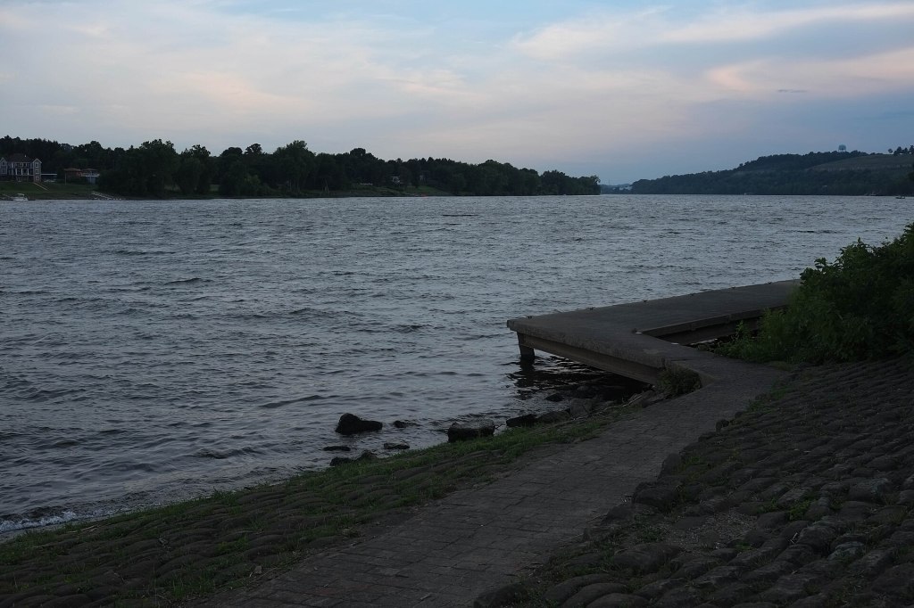
A riverside path curving along the Ohio River at Marietta
The riverfront path at Marietta. Photo: pasa47, CC BY 2.0, via Wikimedia Commons.

Marietta’s River Trail is a paved, mostly level path the city built in phases starting in 2005. It runs about 4.4 miles from Indian Acres Park along the Muskingum River, through downtown, along the Ohio River and over Duck Creek to Cogswell Lane.

The Putnam Street Bridge over the Muskingum River in Marietta
The Putnam Street Bridge over the Muskingum, near the downtown stretch of the trail. Photo: Brett A. Bringardner

It is open to walkers, bikes, strollers and wheelchairs. Park at the Armory on Front Street to reach either end, with restrooms in the middle. A Duck Creek section that collapsed in 2020 reopened in August 2023.
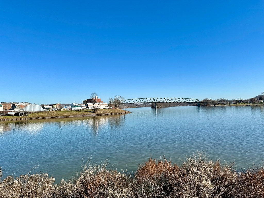
The calm Muskingum River seen from Fort Street in Harmar
The Muskingum from Fort Street in Harmar. Photo: Warren LeMay, CC BY-SA 2.0, via Wikimedia Commons.

Tip: start downtown, head up the Muskingum, and finish with lunch on Front Street.

Comments

Leave a Reply